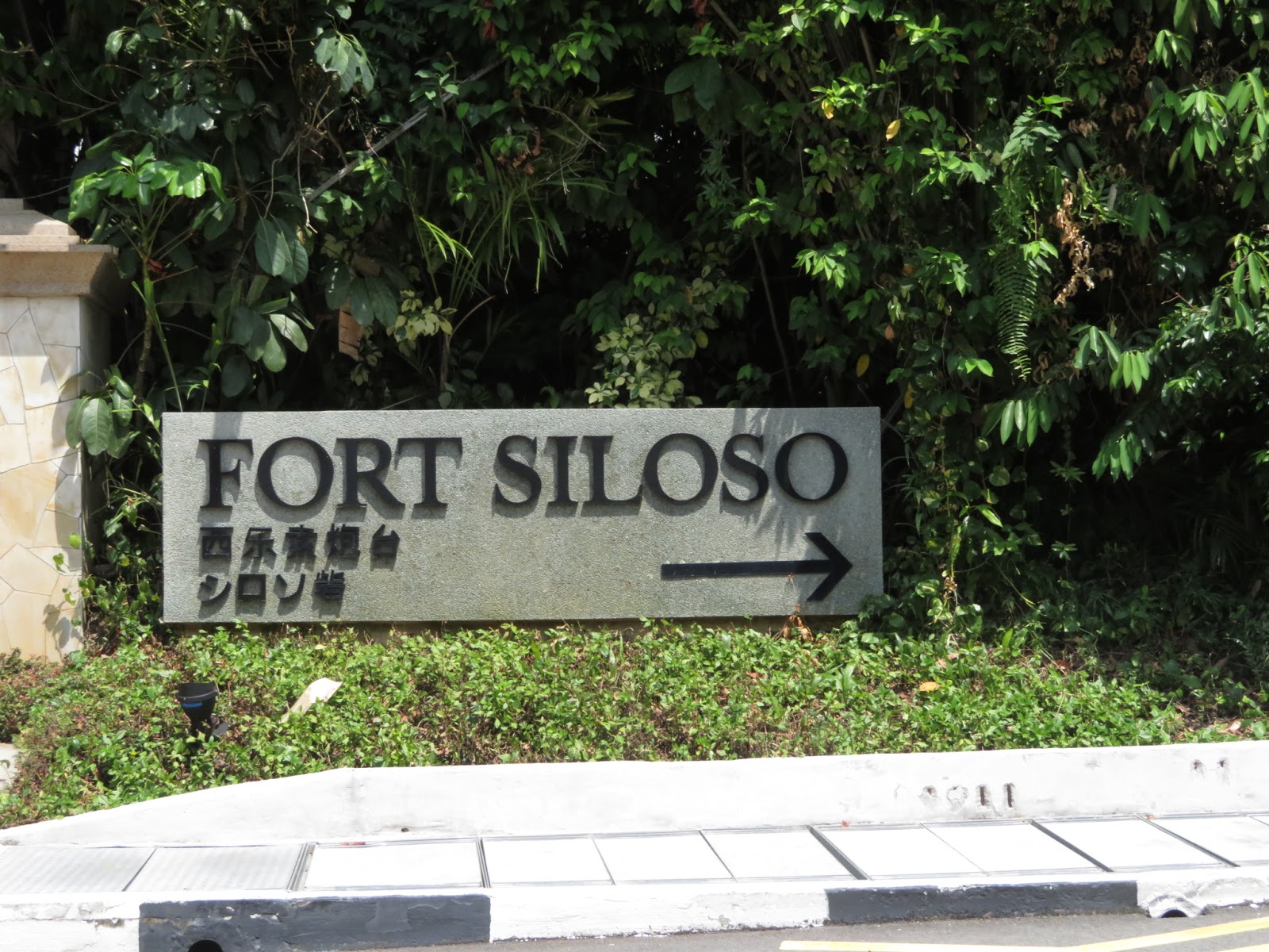
Fort Siloso
When I first visited Sentosa, I learned that Singapore's only fully restored coastal fort is located there. So on my second visit, I made sure that we'd get a taste of Singapore's history via a trip to Fort Siloso. Leonce's family would also enjoy a bit of a less touristy trip, I thought. Val's always into history stuff, because he thoroughly enjoyed the National Museum and Intramuros; so I thought that he'd like a stop here too.
What we didn't know, until we got there, was that we had to hike a bit to reach the fort... there's the option of walking on the elevated bridge, of course, but where's the excitement in that?
Before we entered the hiking path, we saw signs cautioning us about wild animals. I had seen wild peahens when Mommy, Daddy, and I were queued up for a show, so I was expecting to see birds on this hike. Instead, we saw dragonflies and and butterflies. Not a bird in sight; but we knew that they were up in the trees because of their constant chirping.

Finally, we arrived at Fort Siloso. We were greeted by the sight of cannons. But instead of pointing outwards towards open water in the south, these cannons were pointing towards Singapore. Based on how I understood the sign boards, these cannons were meant to aim at enemy ships entering Keppel Harbour from the west.

Inside the barracks and the buildings, we saw photos and text explaining what life was like in Singapore before World War II. The British government occupied Singapore at the time. The peoples living in Singapore were diverse: Chinese, Indians, and Malays were some of the races that contributed to the then British colony's growth.

Old photos of street life demonstrated how busy Singapore was back then. There were more pedestrian and rickshaw traffic on the road. Clothes were hung out on bamboo poles to dry.

In less urban areas (yes, unimaginable for Singapore, I know), farmers and their families tended to flocks of goats and other animals... and even a pet monkey (the woman in front of a pole is holding a monkey, right?)

Back outside, I noticed that some of the cannons were painted sky blue, which I found weird given that batteries are typically camouflaged. Some guns were black, which may be closer to what they looked like back when they were still used actively.

We entered a building called "Surrender Chamber". It featured wax statues representing the people involved in Singapore's surrender to the Japanese in the early days of World War II and Japan's surrender at the end of the armed conflict. It was interesting to see similarities and differences in Filipino and Singaporean experiences about the war. Of course, the personalities were different between the two nations because the Philippines was occupied by the USA and Singapore was a British colony at the time.

Each time I see photos of World War II-related destruction in Southeast Asia and the Pacific, I feel chills... my parents weren't born yet when the war happened but these photos were just too close to home. Hence, I was very uncomfortable seeing images like the one below. This particular photo also reminded me of the ruins in Intramuros, the site of the worst urban fighting in the Pacific theatre of the war. Some of the ruins are still on display in Intramuros but the building in the photo below has probably been replaced already.
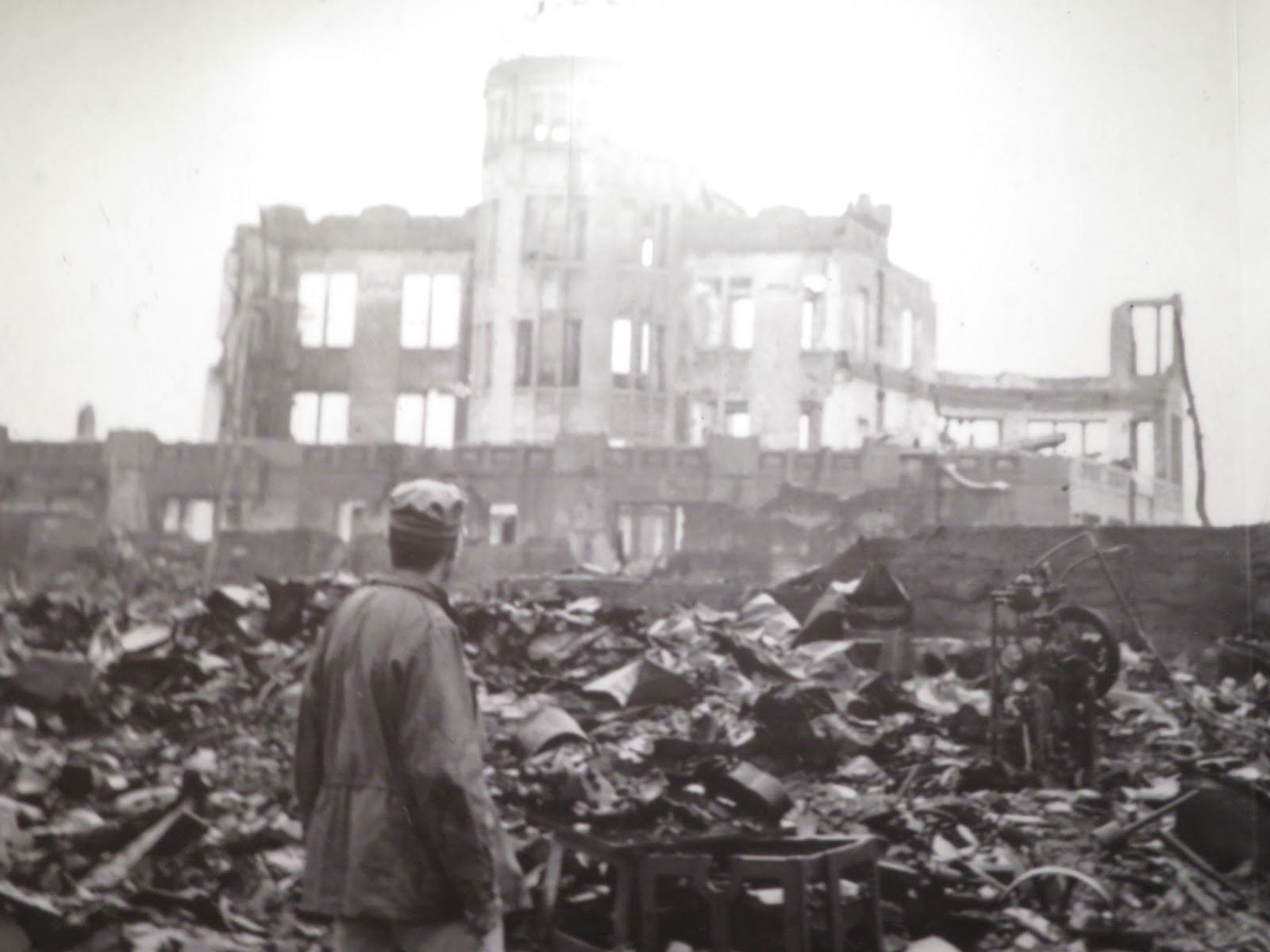
The Fort Siloso trip down the World War II memory lane turned dark very quickly. I was very happy when we finally finished the tour of the Surrender Chambers (the end was marked by the poem In Flanders Fields, quite aptly).
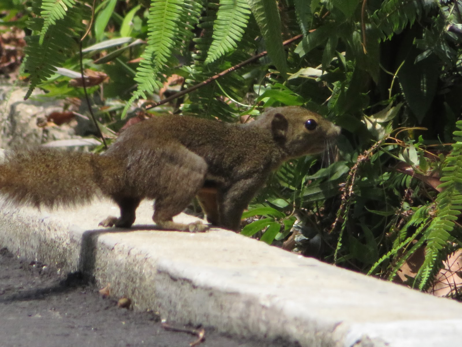
Again outside, the noonday sun slowed our walk. And because we were not in a hurry, I was able to see squirrels crossing the road and in the foliage. It's most likely a plantain squirrel. I've never seen one before; but I observed that it looked different from the squirrels in California.
As we walked out of fort Siloso, we encountered the cannon often featured in travel guides for the fort.

After our military history lesson, it was time to hit the beach! We were off to see what Singapore claims to be the southernmost point of continental Asia, found in Palawan Beach.


Comments
Post a Comment
Thank you for dropping by!
Before moving on, please share your thoughts or comments about the post. :)
Thanks again!